Food Justice Project
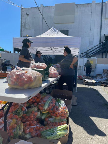
Through surveying the community and gauging their needs, the group found that although many food distribution events were situated in the community, this information was not well communicated to the residents.
Food Distribution Locator Google
In order to meet diverse needs of community members, the group communicated locations
via matching colored icons across all segments of Logan Heights to make the information more intelligible. A map was created with food distribution locations. When you click the map in the digital flyer, this will open a GoogleMyMaps that will redirect to Google Maps so residents can get precise directions to each location.

Printable Flyer
The group created a flyer that clearly lists the different distributions within Logan Heights and displays this data in a calendar and map format.
Scanning the QR code leads to a digital version of the flyer with an interactive map that directs residents to their desired food distribution.


Digital Flyer
The group interacted with local residents to present to them this information. This information proved to be important for those desiring to have more access to food distribution.


